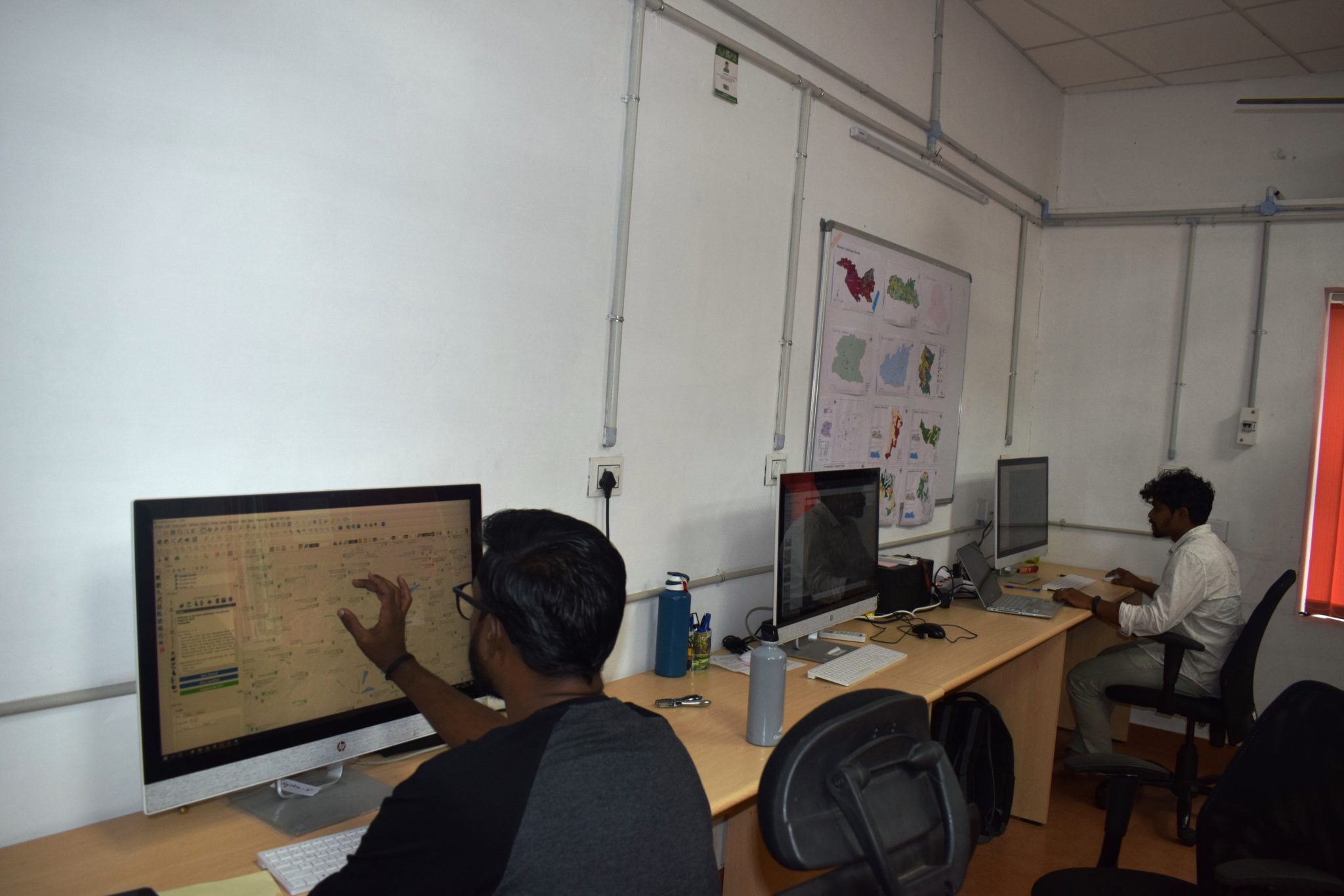
A GIS and Remote Sensing Laboratory as a central facility was established under the Landscape Ecology Division of SACON during the financial year 2016-2017. Geographic Information System coupled with remote sensing data application is one of the most important tools in the modern day ecological and other field based studies. It provides new capabilities for analysing the space/time distribution of ecological phenomena. The multi- disciplinary nature of the projects handled by the Centre necessitates the support of spatial tools and technicians who can handle the requirements of several conservation and management oriented research projects being taken up. The main objective of setting up the Laboratory is to enhance the capacity and capability of the researchers, students and other user groups of SACON to facilitate better interpretation of the data. It also provides an opportunity for developing and sharing spatial data through a data base since voluminous spatial and non-spatial information is being collected in various projects. The utility of such tool will provide better appreciation of the research outputs such as reports and publications. The Laboratory will provide opportunity for the users by imparting training programmes and other similar academic activities. The Laboratory is equipped with, high end hardware such as workstation, server, printer and software both propriety and open source. On data front, the Laboratory got a good repository of Survey of India Toposheets, and a number of raster (satellite images) and vector data (shape file and thematic layers) of various bio geographic regions of the country.